| land
cover, radar |
| ***** Look at ESA's image of the week ***** Look at ESA's Video of the week |
TEO Lab
Tor Vergata Earth Observation Laboratory, is a laboratory of the Department of Civil and Computer Engineering (Dipartimento di Ingegnria Civile e Ingegnaria Informatica - DICII) of Tor Vergata University, Rome, Italy.
TEO Lab is supervised by Prof. Domenico Solimini and supports multidisciplinary research and educational activities, with interaction among Earth observation, satellite remote sensing, computer engineering, Earth sciences, electromagnetics and telecommunications.
TEO Lab hosts the EO activities both of the GeoInformation Doctoral Curriculum and of the Civil Engineering, Computer Science, Telecommunications and Environmental Engineering Masters. The Earth Observation Lab researchers devise original methods and implement algorithms and computer codes for exploiting data from Earth observation satellite missions
. |
| |
| |
|
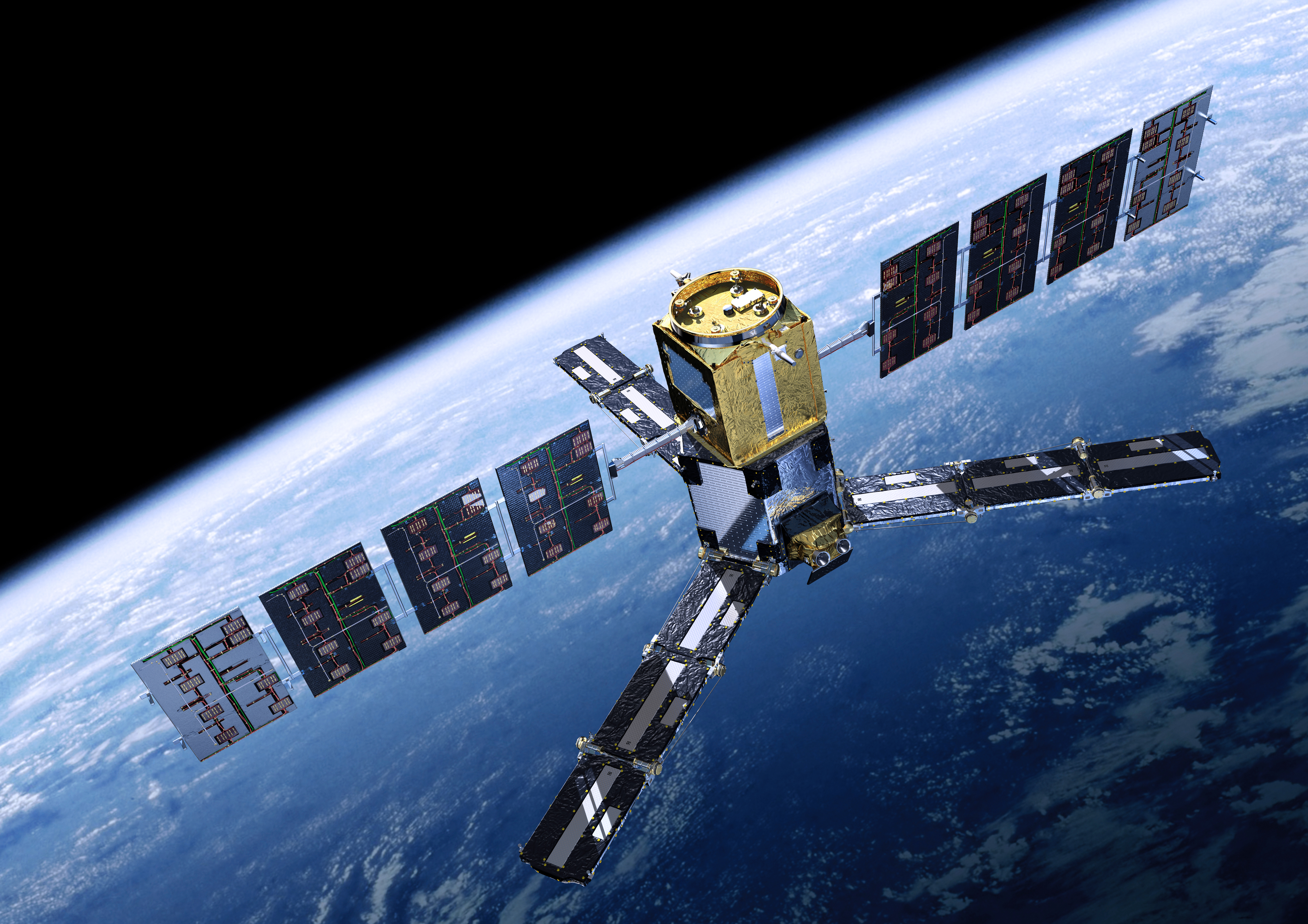
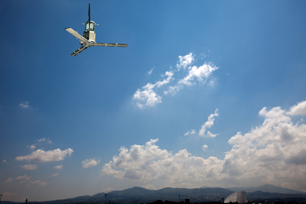
MicroRad back to Roma
|
 Satellite image: ESA
 |
| |
|
DigitalGlobe’s WorldView constellation catches timely images of
Fukushima Nuclear Power Plant
On March 14, 2011 between 11:00 and 11:04 AM local time (02:00 and 02:04 GMT), DigitalGlobe’s constellation imaged the Fukushima Daiichi Nuclear Power Plant twice - approximately 1 minute before and approximately 3 minutes after an explosion at the No. 3 reactor building.
© 2011 DigitalGlobe, Inc.
Japan Earthquake and Tsunami Imagery Report
|
|
| |
|
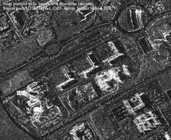 |
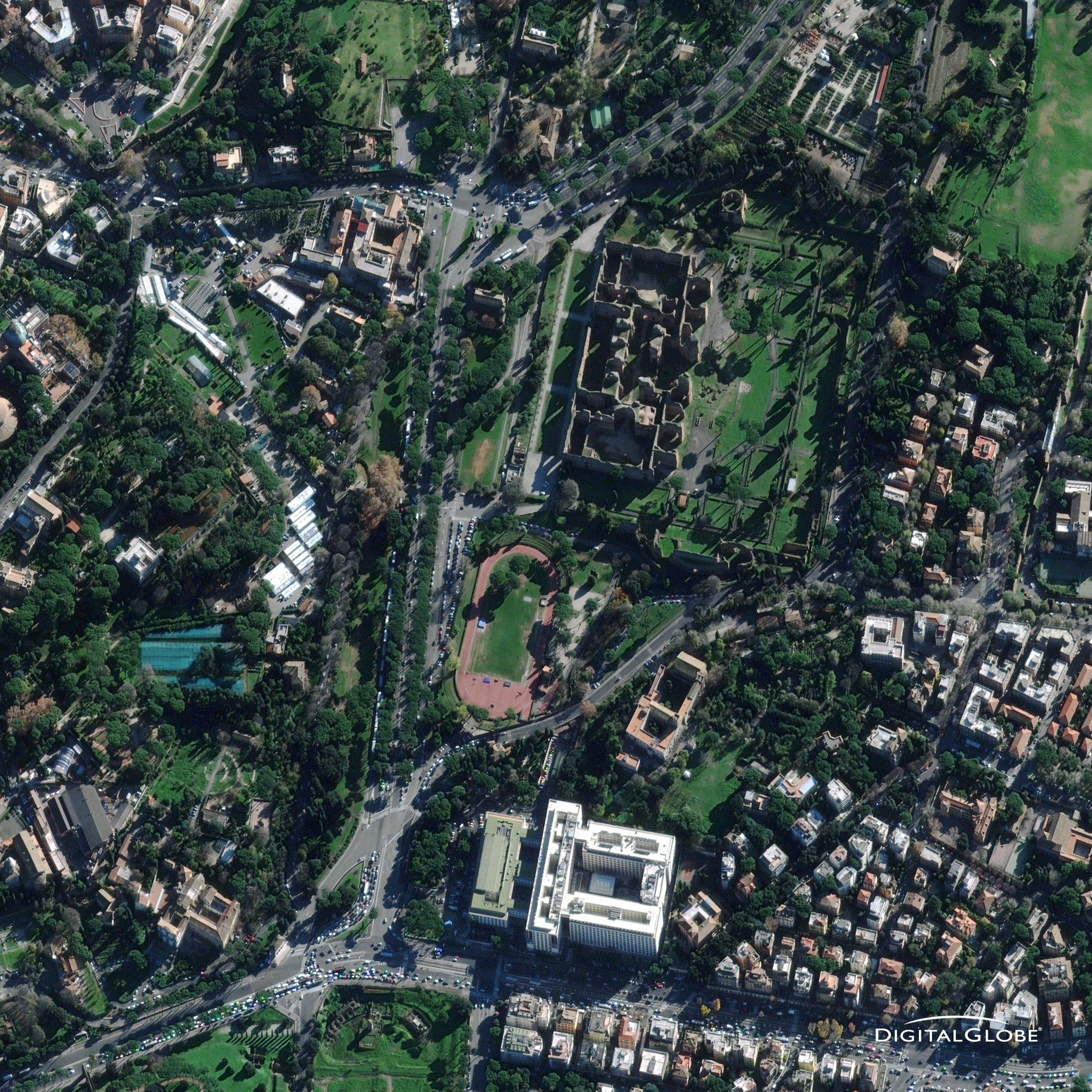
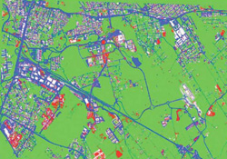
Portion of the Tor Vergata University campus imaged at X-band, horizontal polarization, by COSMO-SkyMed synthetic aperture radar on 20 November 2008. Filtering by GeoInformation PhD student Chiara Pratola. |
 |
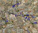
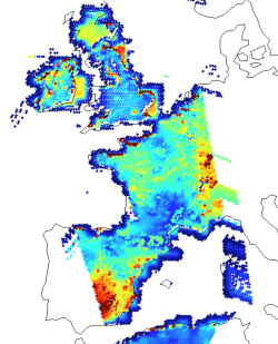
Multi-polarization SAR image by RADARSAT-2 of the SE area of Rome and the Colli Albani hilly area, including the Albano and Nemi lakes. October 8 2008, RGB: sigma^0_vv, sigma^0_hh, sigma^0_hv. Courtesy Tiziana Tocci, BS thesis on "Self-organizing maps for SAR image classification". SOAR Project Number 1488, P.I. Domenico Solimini. RADARSAT-2 Data and Product © MacDonald, Dettwiler and Associates Ltd. (2008) – All Rights Reserved.
|
 |
|
 |
Very-high resolution optical and SAR remote sensing for the urban landscape |
| |
|
 |
Superspectral and hyperspectral missions improve land cover classification |
| |
|
 |
Polarimetric and interferometric SAR observables contribute to forestry |
| |
|
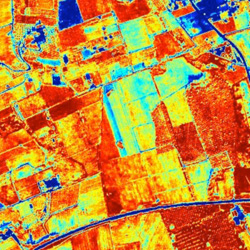 |
Progress in precision farming through microwave and optical Earth observation |
| |
|
| |
|
 |
ERA-ORA: Optical, SAR and radiometric measurements on crops and arboreous vegetation assembled by a European project together with ground truth and simulation models.
Use of data and software is welcome |
|
|