TEO Lab -Tor Vergata

Earth Observation Laboratory

campus classified Very-high resolution optical and SAR remote sensing for the urban landscape

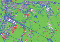
A neural network approach using multi-scale textural metrics from very high-resolution panchromatic imagery for urban land-use classification

Wavenumber Spectra of High Resolution Optical Images for Characterizing Urban Features
Urban Land-Use Multi-Scale Textural Analysis
Use of Neural Networks for Automatic Classification From High-Resolution Images
Satellite image classification at Tor Vergata Earth Observation Laboratory
Use of Neural Networks for Automatic Classification of SAR Imagery
Urban land cover classification potential of high and very-high resolution SAR imagery
A comparative analysis of Kernel-based methods for the classification of land cover maps in satellite imagery
A user-friendly automatic tool for image classification based on neural networks
Self-organizing neural networks for unsupervised classification of complex landscapes by polarimetric SAR data
A neural approach to unsupervised classification of very-high resolution polarimetric SAR data

TerraSAR-X imaging for unsupervised land cover classification and fire mapping

Experimental and Model Investigation on Radar Classification Capability
Analysis of SIR-C/X-SAR data on Montespertoli test site

earth observation laboratory